Belarus |
Select by country / Belarus | ||
| Capital: | Minsk | 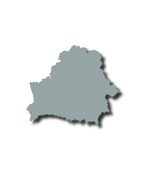 |
|
| Population: | 9.46 Million | ||
| GDP per capita: | € 18.4 Thousand | ||
| National Film Fund: | No | ||
| Regional Film Funds: | No | ||
| National Film Commission: | No | ||
| Incentive: | No | ||
| Belarus lies between latitudes 51° and 57° N, and longitudes 23° and 33° E. Its extension from north to south is 560 km (350 mi), from west to east is 650 km (400 mi). It is landlocked, relatively flat, and contains large tracts of marshy land. About 40% of Belarus is covered by forests. The country lies within two ecoregions: Sarmatic mixed forests and Central European mixed forests. Many streams and 11,000 lakes are found in Belarus. Three major rivers run through the country: the Neman, the Pripyat, and the Dnieper. The Neman flows westward towards the Baltic sea and the Pripyat flows eastward to the Dnieper; the Dnieper flows southward towards the Black Sea.[116] Strusta Lake in the Vitebsk Region The highest point is Dzyarzhynskaya Hara (Dzyarzhynsk Hill) at 345 meters (1,132 ft), and the lowest point is on the Neman River at 90 m (295 ft). The average elevation of Belarus is 160 m (525 ft) above sea level. The climate features mild to cold winters, with January minimum temperatures ranging from −4 °C (24.8 °F) in southwest (Brest) to −8 °C (17.6 °F) in northeast (Vitebsk), and cool and moist summers with an average temperature of 18 °C (64.4 °F). Belarus has an average annual rainfall of 550 to 700 mm (21.7 to 27.6 in). The country is in the transitional zone between continental climates and maritime climates. Natural resources include peat deposits, small quantities of oil and natural gas, granite, dolomite (limestone), marl, chalk, sand, gravel, and clay. |
|||
Select by country / Belarus
Belarus
Capital:
Minsk
Population:
9.46 Million
GDP per capita:
€ 18.4 Thousand
National Film Fund:
No
Regional Film Funds:
No
National Film Commission:
No
Incentive:
No
Belarus lies between latitudes 51° and 57° N, and longitudes 23° and 33° E. Its extension from north to south is 560 km (350 mi), from west to east is 650 km (400 mi). It is landlocked, relatively flat, and contains large tracts of marshy land. About 40% of Belarus is covered by forests. The country lies within two ecoregions: Sarmatic mixed forests and Central European mixed forests. Many streams and 11,000 lakes are found in Belarus. Three major rivers run through the country: the Neman, the Pripyat, and the Dnieper. The Neman flows westward towards the Baltic sea and the Pripyat flows eastward to the Dnieper; the Dnieper flows southward towards the Black Sea.[116] Strusta Lake in the Vitebsk Region The highest point is Dzyarzhynskaya Hara (Dzyarzhynsk Hill) at 345 meters (1,132 ft), and the lowest point is on the Neman River at 90 m (295 ft). The average elevation of Belarus is 160 m (525 ft) above sea level. The climate features mild to cold winters, with January minimum temperatures ranging from −4 °C (24.8 °F) in southwest (Brest) to −8 °C (17.6 °F) in northeast (Vitebsk), and cool and moist summers with an average temperature of 18 °C (64.4 °F). Belarus has an average annual rainfall of 550 to 700 mm (21.7 to 27.6 in). The country is in the transitional zone between continental climates and maritime climates. Natural resources include peat deposits, small quantities of oil and natural gas, granite, dolomite (limestone), marl, chalk, sand, gravel, and clay.
Funds and incentives